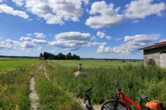
In the rugged and beautiful Haarus outdoor area, you can follow in the footsteps of elk, spot traces left by otters, hear the calls of ravens and swim in clear ponds, before grilling sausages at the Lamminpoikanen open fire site. Haarus is located a 15-minute drive from the PowerPark amusement park.
Start of the trail
Starting point 1 (P1)
Haaruksenportti
Haaruksentie 394, Kauhava
(WGS84) 63° 15.3890′ 22° 58.0749′
Starting point 2 (P2)
Ruskoranta
Haaruskankaantie 198 A, Kauhava
(WGS84) 63° 16.5620′ 22° 57.9145′
Starting point 3 (P3)
Haarusjärvi
Haaruskankaantie 91, Kauhava
(WGS84) 63° 15.9323′ 22° 58.8819
Trail description
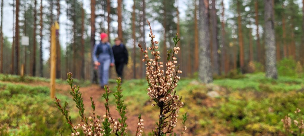
The Haarus Hiking Trails consist of four circular routes. The shortest one, the Peiponpolku nature trail, (1.2 km) starts from Ruskoranta (P2). Marked in red, Peiponpolku takes you via magical forests dotted with ponds to the Tervahauta rest place, where you can enjoy snacks. The route runs back to Ruskoranta through rugged shrubland.
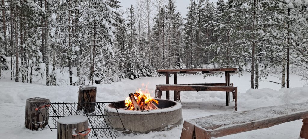
If you are interested in history, the Joutsenenkierros trail (2.2 km), which starts from Haaruksenportti (P1), is the route for you. Marked in violet, Joutsenenkierros gives you an opportunity to hike across a ridge formed during the Ice Age and explore Stone Age trapping pits, in addition to running past many other interesting sites. Halfway through the route, you can take a rest at the Lamminpoikanen fire place.
The Kurjenkierros trail (2.8 km), which starts from Ruskoranta (P2), takes you through varied terrain. Marked in blue, Kurjenkierros travels though varied forest types and runs past a tar burning pit. Picnic areas are available at Vuoslampi and Tervahauta.
You can start the longest route, Korpinkierros (5.2 km) from two locations, Haaruksenportti (P1) or Ruskoranta (P2). This route, marked in yellow, takes you to see all the region’s sights and runs past 15 ponds created in old sand quarries. There are five rest places along the route and the Lamminpoikanen open fire place is located 100 metres from the trail. Visitors can stay overnight at the Ruskoranta campsite.
Level of difficulty
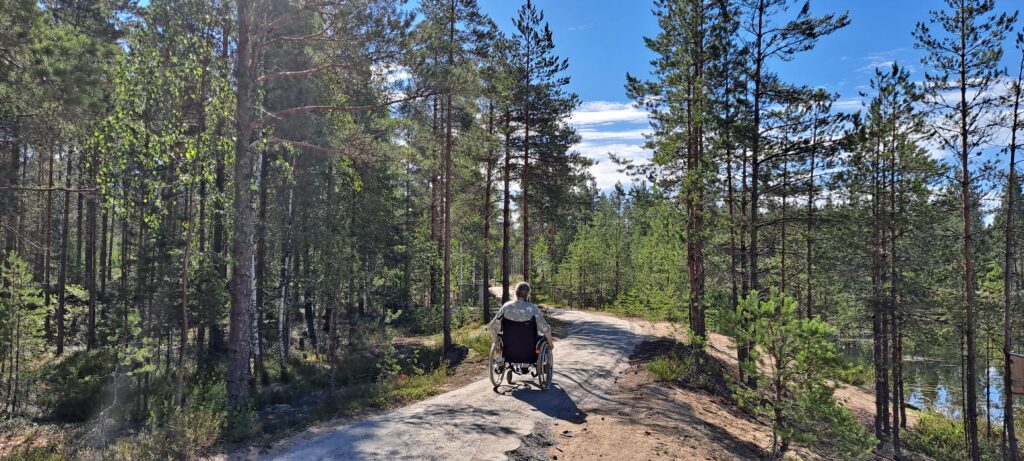
The routes are easy and they do not feature any challenging hills. Because of its length, the Korpinkierros trail requires a certain level of fitness and may not be suitable for small children. The routes are clearly marked with dots of different colours, and signposts have been mounted at crossroads.
If you get lost, suffer an injury, come across a forest fire or experience any other emergency, you should call the emergency number 112. You should always have a first-aid kit with you.
Good to know
For the easier routes, you can wear trainers and appropriate clothing. In the summer and spring when there is no snow, the routes are suitable for walking, cycling and trail running. The numerous clear ponds entice visitors to go for swim, so pack your bathers.
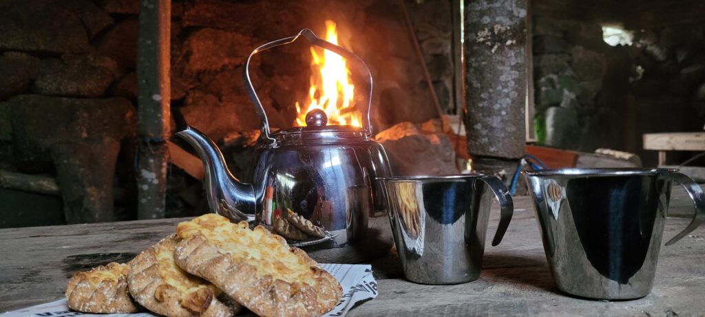
Note that open fires are only permitted at the Lamminpoikanen site when no forest fire warnings are in place. Keep pets on a lead and note that the routes are located in the groundwater area, so pets are not allowed to swim.
Because there are no water supply points in the area, you should bring your own drinking water. Waste recycling points are located at Ruskoranta (P2) and Haarusjärvi (P3). Do not leave any rubbish behind; clean paper and cardboard can be burned at the open fire site and biowaste can be left in the outhouse toilet base.
Surroundings
Haaruskangas is a large dry heath forest, located in the Kauhava wilderness area. Typical plants include pine, lingonberry, spruce, heather and lichen. The region also has some mesic heath forests, riverside broadleaved woodland and marshlands. With a bit of luck, you may spot a Finnish forest reindeer or an otter.
Interesting facts about the trails
The region is home to many interesting historical sites that have survived to this date. The Haaruskangas ridge was formed during the Ice Age, and signs of human habitation go back to the Stone Age. The area has also housed tar burning and coke production operations. The region’s ponds are old sand quarries, which were in use in the 20th century.